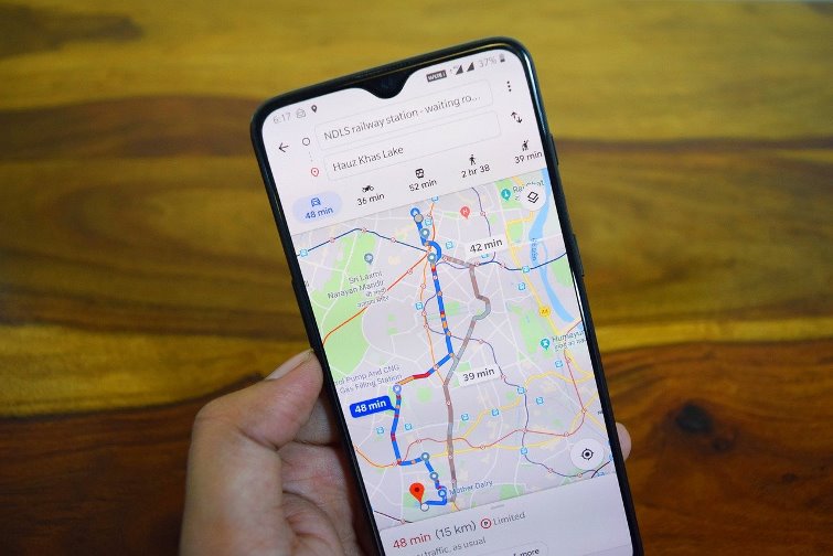
Search engine giant Google has constantly introduced changes in its Maps service to make it more convenient for its users. The Tweaks have also been beneficial for the businesses who pay for the advertisements on the app as well as the web. As per a message that has been sent to the Google Maps preview program the next major feature is expected to be added soon. The new feature will be the automatic displays of the price of the tolls on the roads, bridges and other expensive additions that have been made on the route. Earlier, the Maps only displayed the number and location of the tolls on the route.
The introduction of the new feature was confirmed by a member of a preview program. The member was reportedly told to take a survey that would direct the Maps development team to search about the best ways to implement the feature. The message that has been sent has mentioned that the new feature would include the prices of the tolls along with the total of the driving route. The feature would be helpful for the users to save money as well as valuable time.
For now Google Maps helps to recognize the presence of tolls in the general maps as well as in the navigation routes. The only thing that is missing is the toll prices, not even for the members of the preview program. Going by the development, it seems like the search engine is picking up another feature from Waze which is also a mapping app that was acquired in 2013. Waze had started to estimate the tolls nearly three years back.
With the development there are hopes that the feature would be introduced very soon. If things go as planned, the new feature would be a blessing for people who have to travel on irregular routes and would be able to get to a new city in the best and cheapest possible route.
Photo Credits: Pixabay