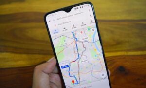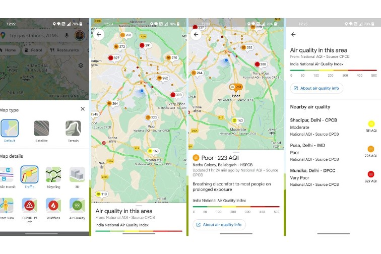
Hikers and bikers who have the habit of exploring new places for their escape now have a new feature from Google Maps. The search engine has launched a new feature that will be available for iOS as well as Android users. The new Air Quality layer will help to display the Air Quality Index that can be seen directly on the map grid. The feature can be useful for people who are planning for their next outing with nature and are in search of some fresh air away from the pollution and smog.
The figures would be display that would be based on the government data that have been gathered by the agencies like the EPA in the United States. These figures help to show how healthy the air is in general. It will also display data that is collected by the network of sensors of Purple Air that reports hyperlocal conditions at the street level. The users can see the option of AQI readings around the Google Maps that will provide a better information about the health impact due to the air quality. It will also display time and the source of the last reading with links to learn more about it.
Purple Air makes use of low-cost sensors that measure the particles in the atmosphere with the help of laser particle counters. Adrian Dybwad, the founder of PurpleAir while talking about how it works said that the user has to shine a laser through the air and the particles in the air reflect the light and the detector picks up the reflections. This explanation was provided by the founder back in 2020 while talking to a leading daily.
This was the phase when the company’s sensors had become popular as it detected the smoke that was produced by the wildfires across the West Coast. Apart from Purple Air, Breezometer is also in the business that marks hyperlocal air quality.
Photo Credits: News 18